Real time product demonstration
All cloud products of the nwcsaf/pps are generated operationally in real time on data from the direct readout station in Norrköping. In addition to the local data also data from the ears-avhrr service received via EUMETCast are being used as well as direct readout data from neighbouring stations in Finland and Norway.
NB! The cloud product imagery shown here is based on PPS version 2014. This service will be gradually discontinued during 2021 (v2014 on VIIRS has been shutdown Dec 2020). Go to the display for PPS v2018 where VIIRS is included.
- To the dr schedule of polar satellites being received in real time at the X/L-band station in Norrköping.
More about the product demonstration
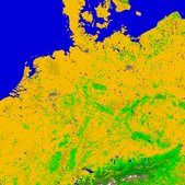
The pps software is being run in operational mode at smhi on direct readout data from the X/L-band station in Norrköping, and on ears-avhrr data received via EUMETcast. The cloud products are retrieved on the satellite swath and data are then mapped on a few map-projected sub-regions mainly covering the area of interest of Sweden. We have one small area over central Europe (germ) acting as a reference area for the nwc saf/pps users. (This area is possible to cover from most direct readout stations in Europe.)
Description of the default areas
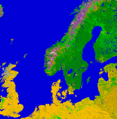
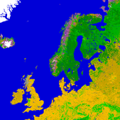
The cloud products are being processed on various regional areas on, usually polar stereographic, map-projection. Areas may be added to or removed from the list of processing areas presented at this site. The location of the areas are illustrated below, displaying the 1km usgs landuse data used. The products may, however, also be processed on other regions with bigger or smaller coverage, and possibly utilising slightly reduced pixel resolution.


